A quick and easy way to gather, analyse and use place-based opinions and experiences has long been an ambition for citizen engagement. One solution is now helping cities across Europe realise their participatory ambitions
When Johanna Palomäki arrived in Espoo as the new planning manager with a remit to develop the city's strategy she didn't do what was expected.
Instead of turning first to departmental experts to outline how the city operates, she turned to technology. To mapping technology that allows citizens to paint a vibrant, richly textured picture made from thousands of different brush strokes and voices and awash with the colour and detail of daily life.
“As our first engagement point, we set up a city-wide survey asking residents to map and assess the quality and value of the places, facilities, transport and routes they use in their everyday lives,” explains Palomäki.
“If citizens give answers to surveys in open-ended form we have to try to imagine where each opinion is situated. If people put them directly on a map themselves this tells us a lot - and makes information and insights much easier to analyse, understand and use.
“This is the viewpoint from which we can start to understand how the city really works and what hotspots are highlighting about services and areas we need to improve and get to the bottom of the actual functional neighbourhoods as opposed to the administrative district boundaries.”
Welcome to the age of the planning revolution
Participatory mapping was born in the 1970s with the introduction of cognitive mapping into planning to explore how people perceive spaces they use in ways more complicated than a street map can show.
Suddenly, planners had the potential to combine tangible data on the location of everything from businesses to bus stops and recreational areas to roads with intangibles such as a sense of belonging and safety. And to take this double layer of facts and feelings into account in a large-scale and actionable form.
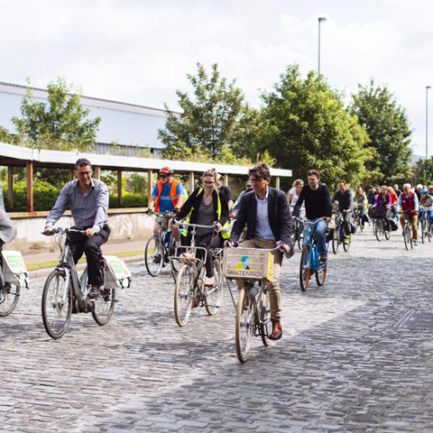
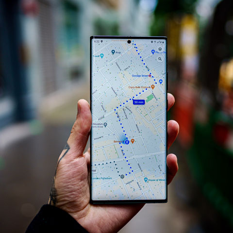
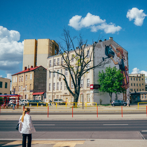
Helsinki learned which routes people don't like using
At a time when cities are facing ever-more complex challenges and citizens are increasingly disenchanted with politics, participatory mapping has increasingly been seen as part of the solution — as an enabler of the planning revolution that many believe has become inevitable.
“Processes and practices in cities are hard to change,” acknowledges Maarit Kahila, co-founder and CEO of Maptionnaire, the web-map survey company used by Espoo. “The question now is how cities can get these kinds of tools more established in their workflows so they can make the most of them.”
Easing knowledge flow, consensus and change
A study of participatory mapping for urban planning by the CORE project suggests that overcoming difficulties and resistance to change will be well worth it.
Concluding that participatory mapping is ‘likely to be an integral part planning processes in the future’, the study reveals that 88% of planners surveyed find map-based surveys useful.
The study also found that it is not unusual for planners to receive positive feedback on their plans through map-based surveys where face-to-face meetings on the same project would indicate the opposite.
Another reported benefit of the tools is that they ease and improve the knowledge flow between city and residents, often cited as one of the most significant challenges facing citizen engagement initiatives.
“Communication is super important in urban planning,” says Kahila. “Cities need to open up for residents what is happening in the city and help them understand why, for example, a new road needs to be built in a particular place.
“With our tools you can do this in many ways. You can show people options being considered or you can turn it into a game or ask them to vote on the ideas they like best.”
When it comes to the greatest challenge of all - reaching a diverse range of participants - map-based surveys prove particularly successful.
“Long experience has shown that when we use traditional participation events, like workshops and public hearings, the people who come along are mostly elderly, those who have the time to spare,” says Palomäki.
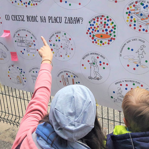
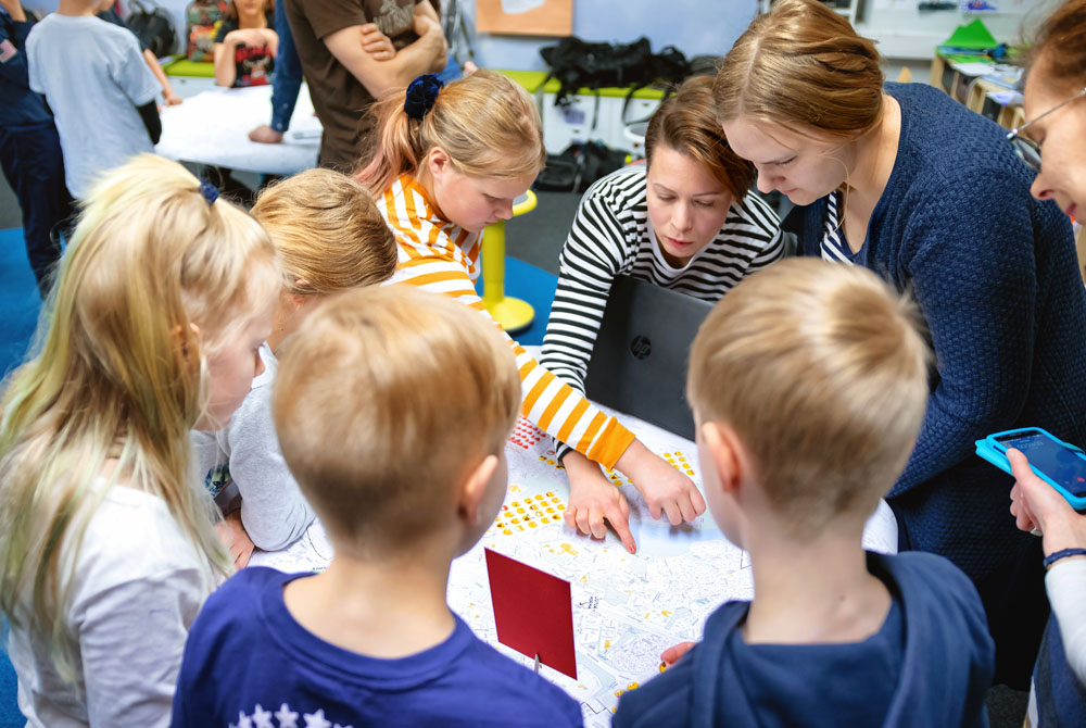
The Maptionnaire team helps children learn about citizen participation
“Using a digital map questionnaire opens up the process to other people, like parents with young children, who can participate whenever they want and wherever they want. You can also reach younger people who are familiar with using digital maps and online tools.”
Brave enough to be a change-maker
Benefits like this have driven adoption of participatory mapping around the world. Maptionnaire alone has been used in 9,000 projects to create questionnaires, transform data into insights and make planning for creative, liveable cities smarter.
Many of these projects are related to the development of sustainable urban plans, as in Espoo, while others relate to repurposing old buildings, designing child-friendly spaces, creating tourist trails and unpicking transport problems.
“Many city planners and citizen engagement specialists have been brave in trying out these new tools,” says Kahila. “They tend to be people who are change-makers with big hearts who care about their city's future and working efficiently.”
Birgitta Holmström is one of these change-makers. When Stockholm needed to create 140,000 new housing units to accommodate population growth, it acknowledged the parallel need for extensive dialogue with local residents about urban change.
In her role as project leader for digital dialogue participation, Holmström used Maptionnaire to discover residents' ideas and opinions on the designs for a new waterfront neighbourhood.
“Maptionnaire is a very important tool for us to interest people in our questions and to make their voices heard, particularly young people who have no interest in coming to a meeting on a weekday at 5pm,” she says.
Talking and walking towards a new vision
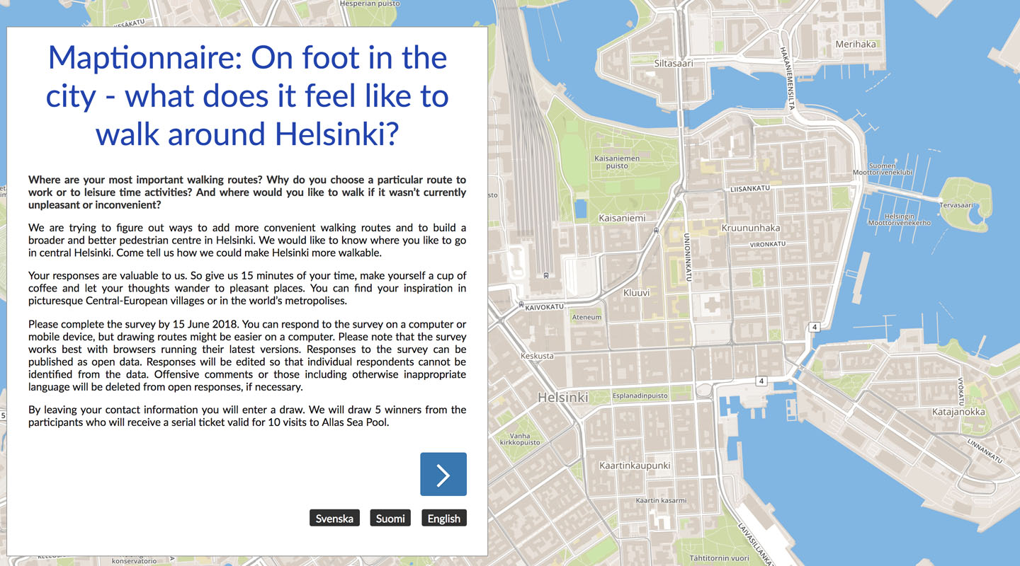
Helsinki, meanwhile, deployed Maptionnaire to improve walkability in the city centre as part of its ambition to be the most functional city in the world.
Citizens were asked to draw their everyday routes on a map, flagging up the nicest and the less pleasant aspects. The city's existing plans for improving the pedestrian experience were shown too to encourage and enable feedback.
Over 1600 people filled in the survey, marking over 8700 routes and places on the map. One positive and useful surprise were the 900 responses related to routes needing improvement.
“The user experience was effortless and inspirational,” enthuses Anu Hämäläinen, the city's participation planner. So too was the city's. “Resource-wise, we feel that a co-designed survey was a very efficient way to collect information from a large crowd within a short period of time.”
Continuing the mapping story
It certainly looks like participatory mapping is here to stay - and has a big future in and beyond the planning department.
“We can transfer all the data from Maptionnaire into our geographic information system, which is used by experts in all sectors of the organisation,” says Palomäki. “When different departments know the datasets exist and how they can be used I think they could be applied to improve services such as healthcare and education.”
Espoo, not for nothing known as a world leader in innovation, has already found another original use for Maptionnaire.
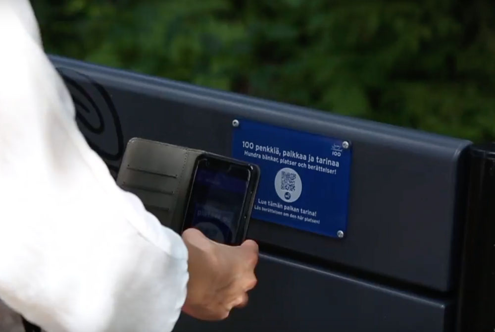
To help celebrate 100 years of Finnish independence, the city wanted to install 100 story-capturing benches around the city. Residents first mapped the 100 locations they thought would be best and then shared stories connected with each location.
Maptionnaire helped Espoo celebrate its 100th anniversary
The stories were placed on a digital bulletin board and the benches were equipped with quick response (QR) codes so citizens can scan and read the stories using their mobile phones - and also add new stories.
“I challenged Maptionnaire to put the questionnaire, 100-bench map and bulletin board in the same platform - it was a fun co-development process,” says Niko Riepponen, city participation designer, with great enthusiasm.
Maybe it's time for even more cities to take up the challenge of finding innovative ways of using participatory mapping. What could your city do?
See how Stockholm interests citizens in planners' challenges